One of the best parts of work can be the travel. In early May, a colleague and I made the trip up to Inuvik for the Science Rendezvous event put on by Aurora Research Institute. The purpose of the event is essentially to get kids excited about science. We made a diorama to show the effects of ground colour on frozen ground, and also talked about coastal protection to a grade 10 science class on the Friday.
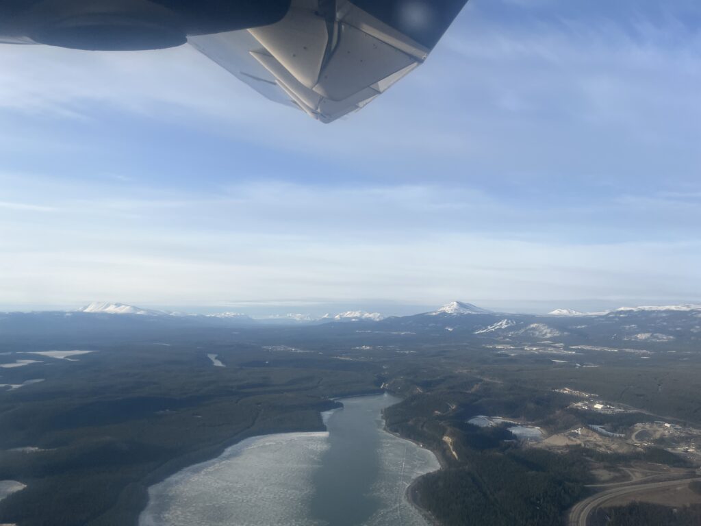
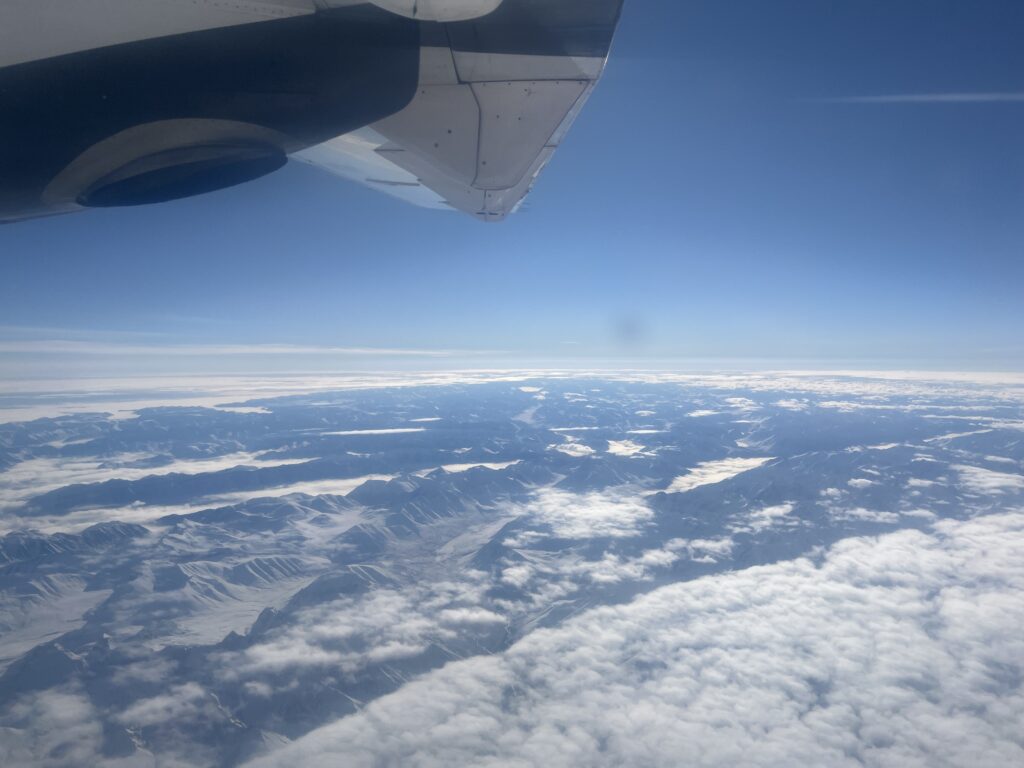
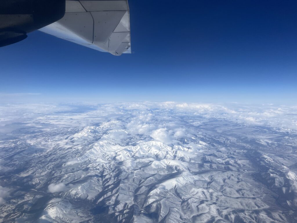
Of course, I took photos of the scenery too! Luckily, the start of the flight over the southern half of the Yukon was clear!
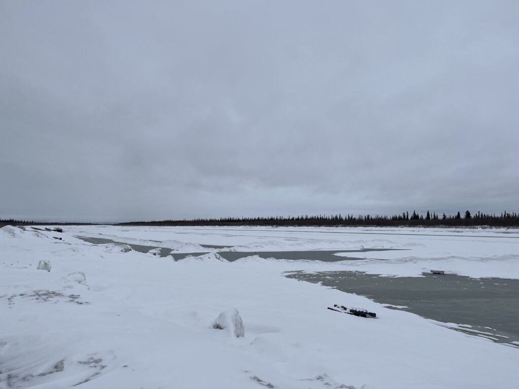
Things were snowy by the time we got to town, and it wound up snowing all weekend. Because my colleague is a hydrotechnical engineer, we had to take a stop by the Mackenzie. While it was still frozen, there was a little open water to put our hands in.
After an exciting Science Rendezvous day, we just had a restful evening. On Sunday, we drove the Inuvik-Tuktoyaktuk Highway, originally looking to connect with a community member to read some instruments, but the snow had other ideas.
Along the road, we saw tons of blocked culverts with ponded water. We also came across the occasional drift we had to power through.
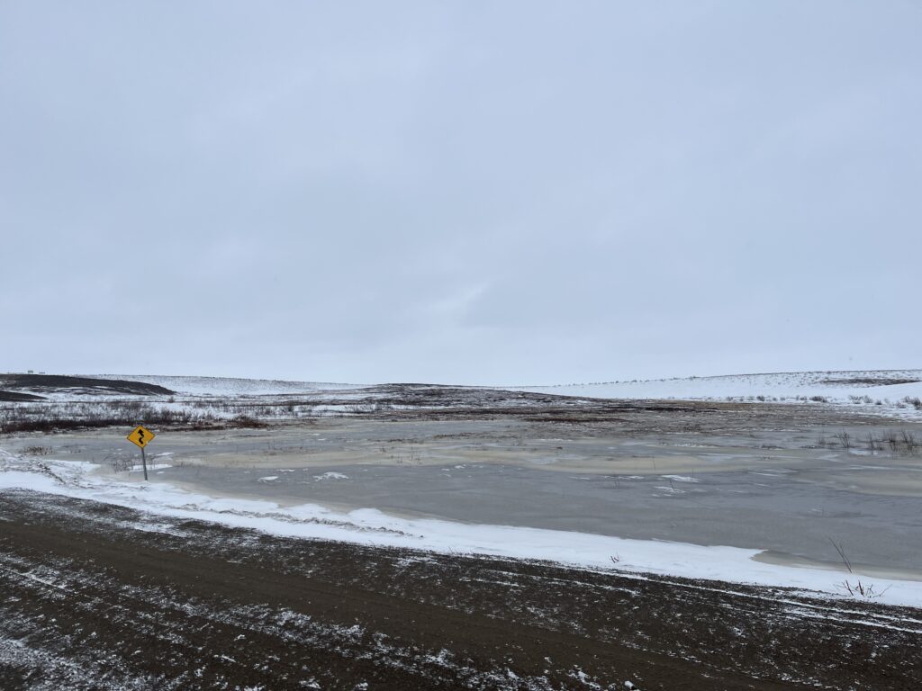
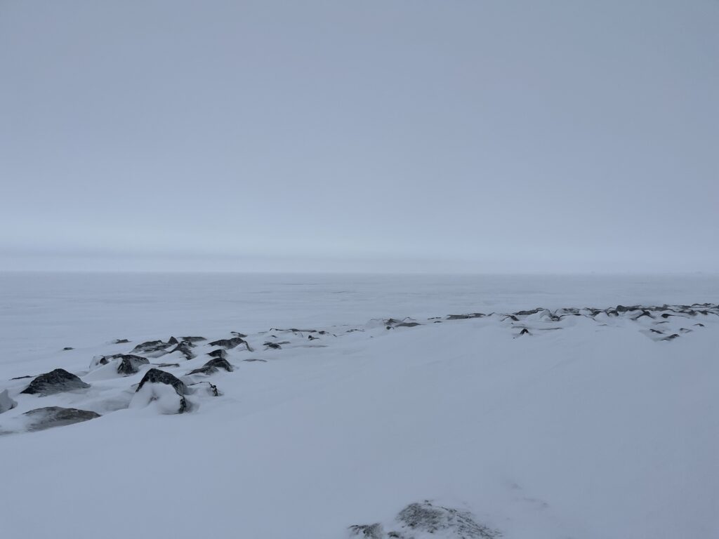
The Government of the Northwest Territories has a public form on Survey123 where you can log these, and any, kinds of road notes, and so we did. When we made it to Tuktoyaktuk, we stopped by the ocean, which was still frozen and covered with a fresh coat of snow.
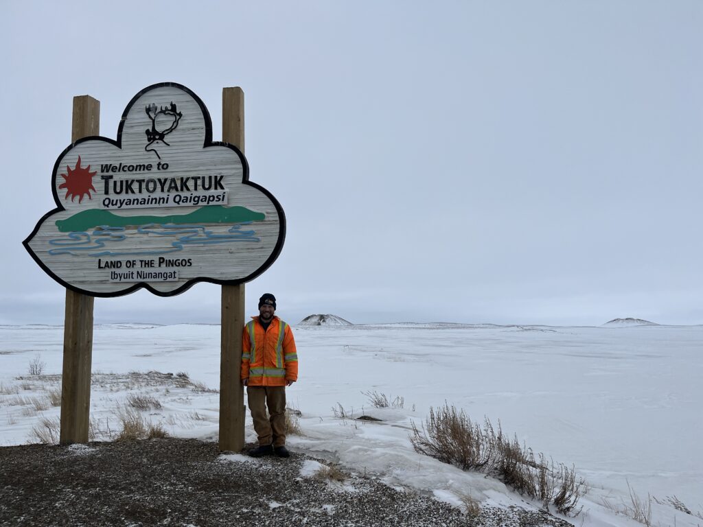
After grabbing some souvenirs, we made a quick stop by the sign. In the back you’ll see a pingo!
The next morning we headed back to Whitehorse. Like the past few days, it snowed again.
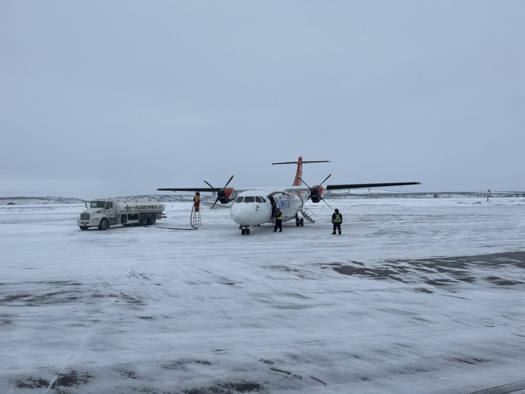
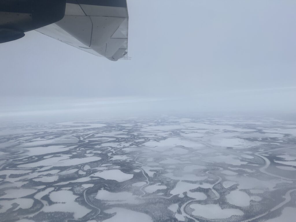
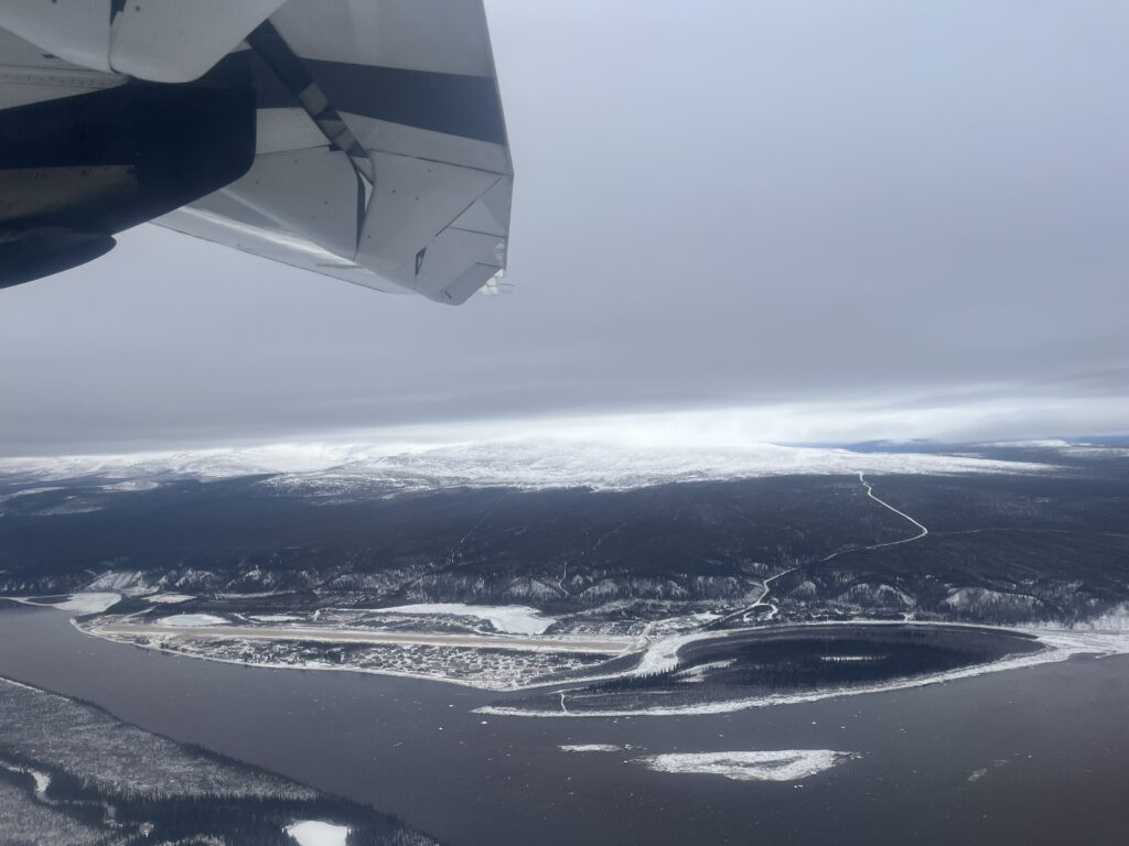
Our flight back included a quick stopover in Old Crow, the Yukon’s only fly-in community. There had been an ice jam a few days prior, but it had cleared up by the time we landed.
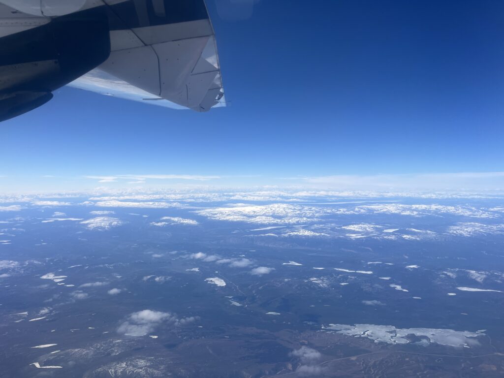
We had some nice clear weather over the Tombstone Range and much of the rest of the way home.
It was a great trip and I look forward to going back – hopefully when it’s a little clearer!